“Geography is a subject which holds the key to the future”
Michael Palin
Geography at Mersey Park
Please click the link below to find out how we teach Geography at Mersey Park.
Geography at Mersey Park Primary School
Geography Report to Governors
Geography Governors Report July 2025
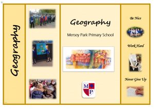
Our Mersey Park knowledge organisers, created to carefully link to our planning, along with quizzes each lesson help the children to retain new knowledge and recall previous learning.
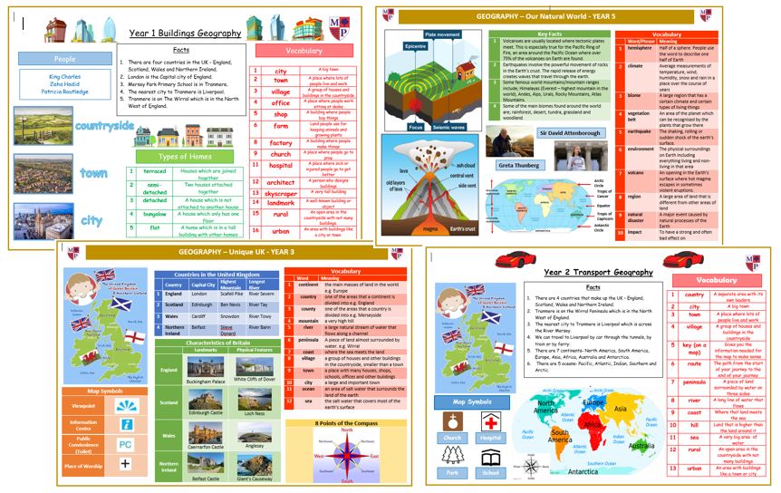
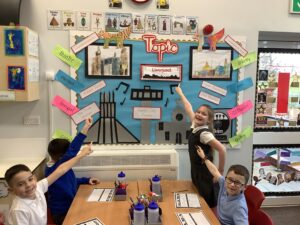
Displays around school enhance pupils knowledge and support their learning.
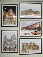
Whole School Geography Overview
Here is a copy of our Long Term Overview for Geography.
Autumn Term
Foundation 1
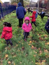
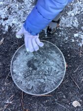
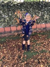
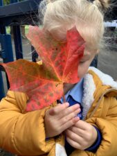
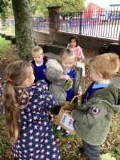
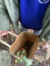
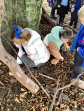
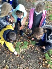
In Foundation 1 the children explore the changing world around us, using new vocabulary to talk about what they see. They use the outdoor spaces to investigate how things change through the seasons of Autumn and Winter. They find out about how plants and trees change, how the weather changes and what natural items we will find around school.
Foundation 2
In Foundation 2 the children talk about where they live and who lives with them. Using a house shape, the children draw themselves and their family inside. The children explore different types of homes in the local area and through books and images compare them to homes from around the world. The children build a home like their own using Lego. At Harvest time the children find out about where food grows and how it is harvested. Linked to the Hindu festival, Diwali the children share images and video clips about India as a contrasting location to where they live. They enjoy finding out about the lives of children in India, what they eat, how they travel to school and what their homes are like. The children enjoy tasting poppadums and some other Indian food.
Year 1
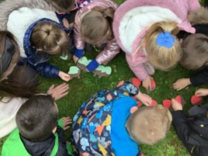
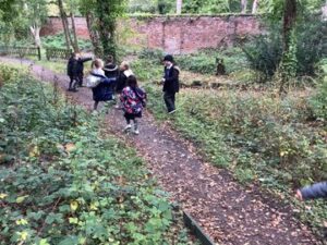
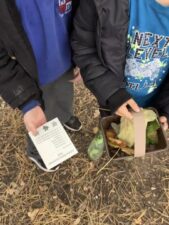
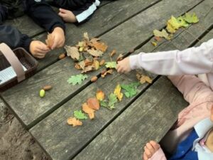
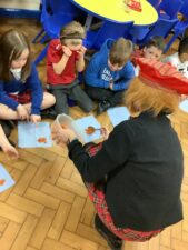
In Year 1 the children learn about the seasons and how the trees and weather change during the year. As part of their Seasons topic they take a trip to Royden Park and have the opportunity to go on a scavenger hunt and gather natural objects and make leaf patterns.
Year 2
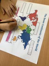
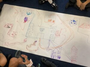
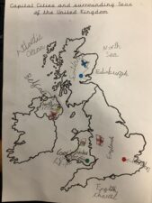
In Year 2 the children learn about the seven continents of the world. They also revise the four countries of the UK building on their knowledge from Year 1 and learn about the capital cities of the four countries and the surrounding seas. As part of their Transport topic they also look at their route to school and create an aerial map of the local area. They have the opportunity to complete a traffic survey outside school to see the most common vehicles which travel along our roads.
Year 3
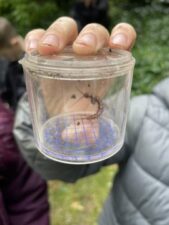
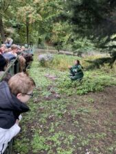
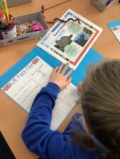
In Year 3 the children start the year with their Unique UK topic where they learn more about the UK. They revise the four countries of the UK and their capital cities from their work in Year 1 and 2 and build on their knowledge by starting to learn about counties and rivers. they create fact files about the UK, including information about population, significant landmarks and physical features. As part of their topic they take a trip to Birkenhead Park to learn about traditional British trees and flowers.
Year 4
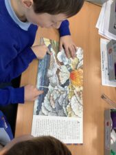
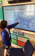
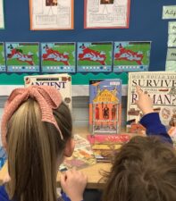
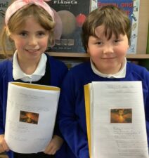
In Year 4 the children locate Rome on a range of maps and also study the spread of the Roman Empire. The children also learn about the eruption of Mount Vesuvius in 79AD and how this changed Pompeii forever.
Year 5
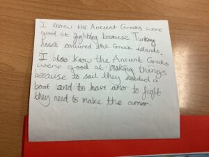
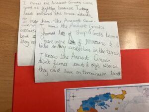
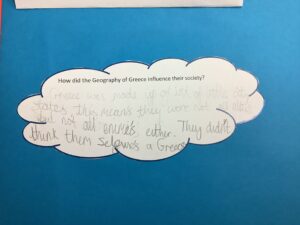
In Year 5 they start the year with their Ancient Greece topic. As part of their topic they learn about where Greece is and how the geography of Greece influenced their society. We also look at trade and how the Greeks would have had contact with other civilisations through travel.
Year 6
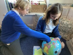
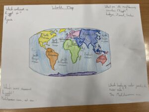
In Year 6 the children use maps and globes to find out more about the land use in Egypt. They locate areas using 6 figure grid references. They also look at the similarities and differences between Egypt and the UK, paying particular consideration to: land use, natural resources, oceans, mountains and landmass.
Forest Schools
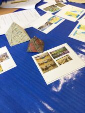
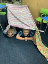
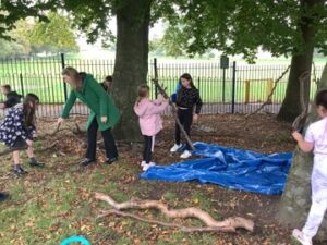
These photographs show some of the activities completed at Forest School.
Spring Term
Foundation 1
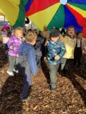
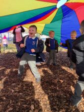
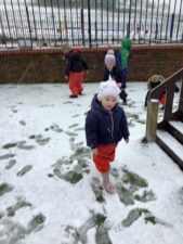
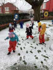
In Foundation 1 the children wrap up to explore the snow in the outdoor area.
Foundation 2
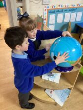
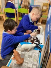
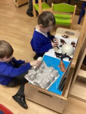
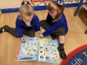
In Foundation 2 the children find out if some places in the world are always cold. They look at photographs and videos on the internet and also use an Atlas and globe to help them find out more. They find out about explorers who have visited these cold places and play with the animals that live there.
Year 1
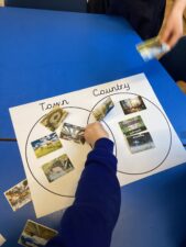
In Year 1 the children tasted foods from Spain, France and Greece and located the countries on a map. To introduce their buildings topic children went on a building hunt around their local area. They found the location of the school building on a map and planned their route to school.
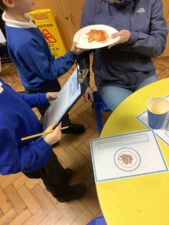
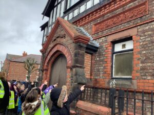
Year 2
In Year 2 the children begin a new topic called Island Adventures where they revise the seven continents of the World. They learn the five oceans and locate them on a map. They compare the weather on the Isle of Struay to the weather in Tranmere and experience a taste of Scottish culture.
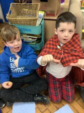
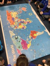
Year 3
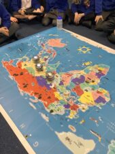
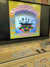
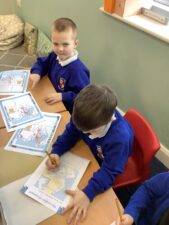
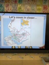
In Year 3 the children revise the capital cities of the United Kingdom. They locate Liverpool on a map and complete some map work using OS maps. They visit The Museum of Liverpool by train and sketch famous Liverpool landmarks whilst there.
Year 4
In Year 4 the children begin their passport to Europe topic with a focus on Italy, Spain and France. They look at the physical features of rivers and mountains and compare holidays in the past to present day ones.
Year 5
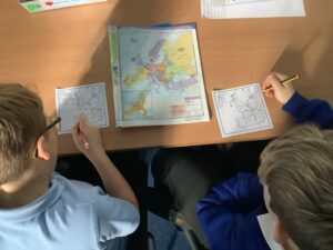
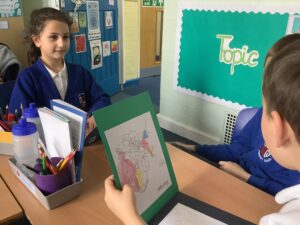
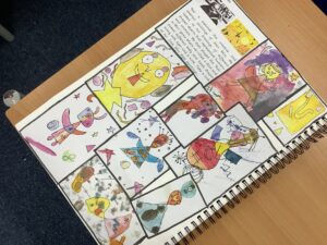
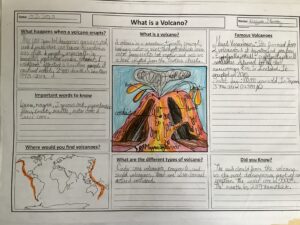
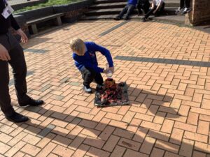
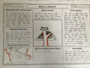
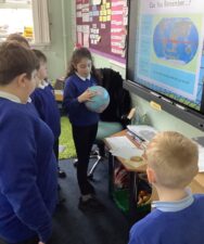
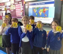
In Year 5 the children revise the continents and look at famous landmarks around the World. They create fact files and compare weather patterns and different climate zones. They learn what a natural disaster is and how they may occur. They draw diagrams of volcanoes and earthquakes and create fact files to deepen their understanding of these two natural phenomenons. They also look at the globe and the invisible lines on them such as GMT, the tropics, the equator and time zones. Biomes and climate zones are another key focus of this topic.
Year 6
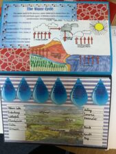
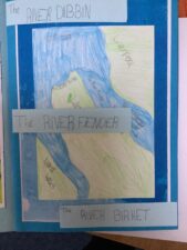
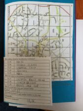
In Year 6 the children start the year with their Water topic and investigate rivers. In this unit they study the water cycle, learn to name the rivers of Britain and some rivers of the world as well as looking at the local rivers, lakes and brooks. They will learn about the water cycle, exploring why it rains where rain comes from and the continuous cycle of water around our planet. The children look at water pollution and use ordnance survey maps. They use a 6 figure grid reference and OS maps. They learn about the human and physical impact of rivers, lakes and oceans and about water pollution.
Summer Term
Foundation 1
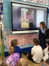
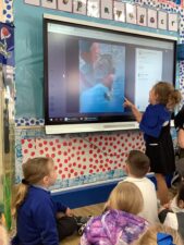
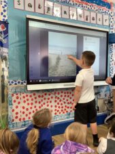
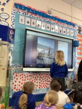
In Foundation 1 the children enjoy finding out about places in the world other than their immediate environment. They listen to each other talk about place they have visited on holiday.
Foundation 2
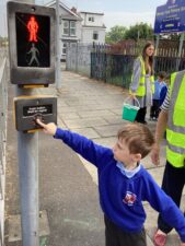
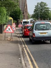
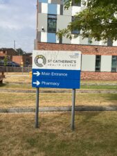
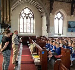
In Foundation 2 the children explore out and about in our local community. They are able to spot lots of Geographical features and the location of local places.
Year 1
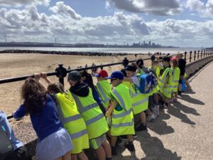
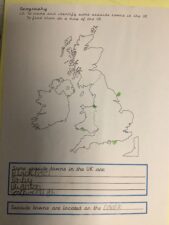
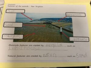
In Year 1 the children study how seaside holidays came about and where people go to find seaside holidays. They also look at the features of a seaside which culminates in a trip to New Brighton.
Year 2
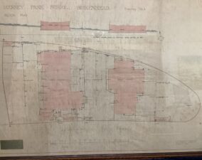
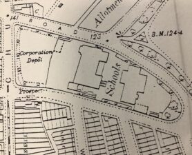
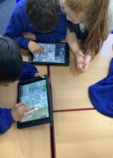
In Year 2 the children explore aerial views and plans. They use these to explore how the school building and grounds have changed over the years since it was built. They also use the artefacts and information from log books to look at the school population and study how the school has grown in size.
Year 3
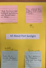
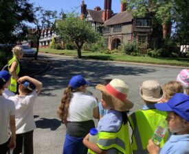
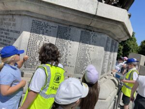
In Year 3 the children study the changes in land use in Port Sunlight from the Victorian Era to modern day. The children follow a map to create their own walking tour and spot the famous landmarks along the way. They also look at the modes of transport that people might take to get to Port Sunlight.
Year 4
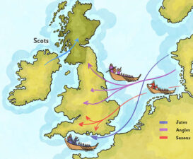
In Year 4 the children find out where the Anglo Saxons and Vikings came from, recap what they have learnt about these countries and they look at the routes they took to invade England. Then they look at Google Earth and use a variety of maps to locate the different areas.
Year 5
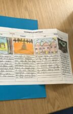
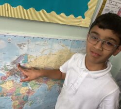
In Year 5 the children look at all the different countries, climate zones and biomes in North and South America. They focus in on South America and in particular the Yucatan peninsula. They compare the geography of the Yucatan peninsula with the Wirral.
Year 6
In Year 6 the children spend a lot of time doing map work, looking at different settlements during the Stone Age to Iron Age. They look at what different groups of people existed at the same time and who may have encountered each other for reasons like trade and farming.
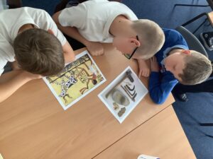
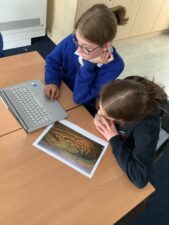
We are proud to have been awarded the national Geography Award at silver level in September 2024 showing our commitment to providing quality geography education.
 Primary Geography Quality Mark
The Primary Geography Quality Mark is seen as a key strategy for raising the quality of Geography in Primary schools. Over the past few years, everyone at Mersey Park has made a contribution to achieving our first Geography Mark and we are very proud to achieve Silver.
The Geographical Association states the following about schools who have been awarded the mark:
‘The teachers in these schools ensure that their planning, policies and practice maximise pupil learning and are not afraid to take risks, innovate and challenge to achieve progress in geography. Key threads through the curriculum are intercultural understanding, local fieldwork, environmental issues, critical thinking and sustainability. These are explored in a variety of places across the world from local to global. The schools use creative approaches to stimulate learning and place high value on using real-life issues to promote understanding.’
Specifically, Mersey Park’s feedback from the recent application is summarised below:
- The intent for the geography curriculum is clearly articulated. There is a clear vision for what pupils are expected to learn and remember linked to a complex and detailed scheme of work.
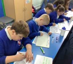
- The extensive use of writing frames and writing grids ensures the pupils acquire a great deal of factual knowledge, including locational knowledge.
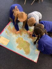
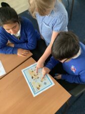
- Throughout the year groups there is a strong focus on locational knowledge. Maps, atlases and digital technologies are used regularly to identify the location of places as a context to further learning. Pupils have frequent opportunities to develop their map work skills using maps on a variety of scales.
- There is a strong focus on cross curricular links particularly to history, science and English. These links are clearly mapped out and provide a geographical context for learning in these subjects.
- Reading is a high priority and pupils have good access to a range of fiction and nonfiction texts which enhance geographical learning.
- Fieldwork opportunities are built into units of work wherever possible; pupils have opportunities across most year groups to explore their immediate locality, the Liverpool area as well as more distant places such as Malham.
- Geography has a high profile around the school. This is promoted by displays of pupils’ work as well as maps and other geographical information in classrooms and public areas.
Events and Trips
We enhance our curriculum by taking our children on a variety of trips in the local area and further afield. Please click the link below to view our Trips, Visits and Experiences page.

